Geological Data Scraping on Twin.so Without Dirty Data
Geological data scraping on Twin.so is easy to start and easy to get wrong. A workflow can return a clean-looking lithology, map scale, or mineral occurrence record while dropping its source URL, CRS, unit definition, or capture date. Use T...

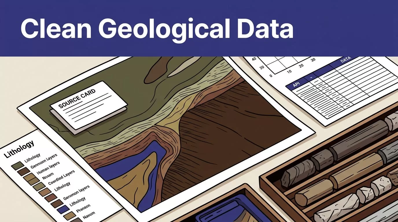
Geological data scraping on Twin.so is easy to start and easy to get wrong. A workflow can return a clean-looking lithology, map scale, or mineral occurrence record while dropping its source URL, CRS, unit definition, or capture date.
Use Twin.so for authorized browser automation and structured extraction. Use APIs and OGC services first. Keep schema, provenance, validation, and publishing rules explicit. Start with one source and make every accepted row reviewable and repeatable.
Choose the Source Before You Open Twin.so
Accuracy starts with source selection. A rendered web page is not automatically the best source for geological data. It may show a map, but hide the layer name, service URL, coordinate system, metadata, or update date.
Use APIs and Web Services First
API-based collection is different from scraping. An API returns structured records through a defined request. Scraping reads content from a page, table, file area, or browser session. API retrieval is usually easier to test, rerun, and audit.
For US geological data, check USGS ScienceBase API and web services before building a browser workflow. ScienceBase provides programmatic connections for USGS data and metadata.
The National Geologic Map Database is the main US reference for geologic maps and related reports. Use its catalog details to confirm publisher, map coverage, scale, title, and publication information.
OneGeology is another useful source for international map services. Its portal documentation identifies providers, layers, service URLs, legends, and usage conditions. Its service model uses standards such as WMS, WFS, and WCS.
Use Browser Automation for the Gaps
Twin.so becomes useful when the required data sits inside a dynamic page, an authenticated portal, a downloadable file workflow, or a system without a suitable API. Twin’s current public terminology centers on AI agents, browser automation, workflows, and structured extraction. Its AI agent learning resources describe these capabilities in operational terms.
Use an approved account for private sources. Don’t bypass paywalls, access controls, rate limits, or anti-bot systems. Public visibility also doesn’t remove the need to check terms of use, licenses, and collection permissions.
A narrow instruction works better than “scrape all geological data.” Name one source, one search path, one record type, and one output destination.
Define a Geological Data Contract
Don’t let the agent decide what a geological record means while it runs. Define the output before collection.
Your schema depends on the object being collected. A map-unit record, borehole record, mineral occurrence, and sample result need different fields. The table below covers a practical starting structure.
| Field | What to store | Acceptance rule |
|---|---|---|
source_record_id | Stable ID from the source | Required when the source provides one |
source_url | Page, service, file, or record URL | Must be absolute and traceable |
provider_layer | Survey, dataset, service, and layer name | Must match source metadata |
geology_raw | Original unit, lithology, age, or commodity text | Never replace with a guess |
location | Coordinates, geometry, or map extent | Must include the source CRS |
map_scale | Representative fraction when supplied | Preserve values such as 1:24,000 |
captured_at | Source timestamp and run timestamp | Store in a consistent time format |
license_status | Usage terms or access condition | Required before downstream reuse |
Add fields for stratigraphic codes, sample IDs, analytical values, units, confidence flags, and file checksums when the source provides them.
Keep Raw and Normalized Values
Store the source value beside your normalized value. For example, keep Qal as the original map-unit label and store your controlled vocabulary separately. Keep the original lithology description when you map it to a standard category.
Don’t convert missing data into an inferred value. Use a clear null state such as not provided, not applicable, or not extracted. A blank field and a verified absence are different conditions.
The same rule applies to coordinates. Preserve the original coordinate order, geometry, and CRS before transforming it into a project CRS. A transformed point without its original reference is difficult to audit.
Build Geological Data Scraping on Twin.so as a Controlled Workflow
Twin.so’s current workflow terminology supports a useful operating structure. The agent instructions describe the purpose, database tables and schemas, workflow steps, and tools used. Treat those instructions as an execution contract.
Write Field-Level Instructions
Give the workflow fixed rules:
- Open the approved source URL and apply the named filters.
- Traverse every required result page or file, including pagination.
- Extract only the fields in the schema.
- Capture the source URL, provider, layer, and collection time with each row.
- Store raw values before applying normalization.
- Send incomplete or uncertain rows to a review destination.
Tell the agent what counts as a valid record. For a geological map layer, that may require a provider name, layer title, service URL, legend, CRS, and map scale. For a sample record, it may require a sample ID, location, material type, measurement, unit, and collection date.
Avoid broad instructions such as “clean the geology data.” They leave identity, missing values, and normalization decisions undefined.
Start Without Production Write-Back
Run a known sample first. Compare the returned records with the live source. Review the first page, the last page, a record with missing fields, and a record containing unusual geological terminology.
Use a staging table or report-only process before updating a warehouse, GIS layer, or research database. Twin.so’s current interface and plan may use different labels for drafts, staging, or report-only execution. Verify the available control before deployment.
After the sample passes review, enable updates for a limited batch. Keep the original source file or response available. Never make the only copy the version being modified.
Validate Every Batch Before Publishing
A successful browser run doesn’t prove that the output is complete. The page may have loaded partially. A table may require scrolling. A portal may return a warning while still showing old data.
Run Structural Checks
Check the batch before publishing it:
- Confirm required fields are present.
- Validate data types for dates, coordinates, numbers, and URLs.
- Compare returned row counts with the source count when available.
- Test that pagination reached the final page.
- Check for duplicate source IDs and duplicate canonical URLs.
- Reject unexpected columns and changed field names.
- Confirm the source timestamp is newer than the previous accepted batch.
Keep the last trusted dataset when validation fails. A failed run should create an exception and notification. It should not replace good data with an empty result.
Run Geological Checks
Validate the meaning of the data, not only its shape. Confirm that the layer is actually geological and that its legend matches the extracted unit names. Check whether the source describes lithostratigraphy, lithomorphogenetic units, mineral occurrences, samples, or another object type.
Coordinate reference systems need their own check. Read the CRS from service capabilities or metadata instead of assuming that every web map uses the same system. OneGeology documentation includes examples such as EPSG:4326, EPSG:3857, CRS:84, EPSG:27700, and EPSG:4258.
Map scale also affects interpretation. A 1:24,000 map and a 1:100,000 map don’t provide the same level of spatial detail. The USGS NGMDB treats map scale as a searchable field, so retain it rather than flattening every map into one coverage category.
A valid row is not automatically a valid geological observation. It needs the source context required to interpret its unit, location, scale, and coordinate system.
Make Each Run Reproducible
Reproducibility requires more than running the same prompt twice. Live pages change. Layers are renamed. Files are replaced. A deterministic browser replay can still produce a different result when the source has changed.
Twin browser materials describe compiling an authenticated extraction flow into a reusable skill and replaying it deterministically. Verify how that behavior applies to your current agent type, account, and workflow before treating it as a guarantee.
Store the following with each run:
- Workflow or agent name and version
- Source URL, endpoint, query, and filters
- Run ID and collection timestamp
- Raw response, downloaded file, or page evidence
- Content hash for files when available
- Normalized output and validation result
- Reviewer, approval status, and publication timestamp
Separate collection, validation, and publishing. The collection step can retrieve records. Validation can reject incomplete batches. Publishing can update the approved destination only after checks pass.
This separation also supports reruns. If a source changes, you can compare the new raw material with the previous batch instead of trying to reconstruct what the page showed last month.
Handle Duplicates and Failed Runs
Use Deterministic Matching
Use a strict identity sequence. A source record ID should win. If no ID exists, compare a canonical record URL, provider, layer, map title, publication date, and geometry. Require several matching signals before merging.
Don’t merge two map units because their names look similar. Geological naming often varies across surveys and map products. Route uncertain matches to an exception table with the proposed match, confidence reason, and source records.
A reviewer can approve, reject, or correct the decision. Keep the attempted action in the run history.
Troubleshoot the Source Path
When output is incomplete, inspect the latest run details, inputs, errors, and warnings. Test the workflow manually against the same source path. Check whether the login expired, the page layout changed, a download link moved, or a result table requires another interaction.
Use bounded retries with backoff for temporary failures. Save progress by page, record ID, cursor, or file name where the source supports it. This prevents a failed page from forcing a full restart.
Compare each rerun with a known sample. Track missing records, new duplicates, changed labels, and unexpected row-count changes. A browser workflow can finish without an error and still skip content, so count and coverage checks remain mandatory.
Measure Quality and Cost Before Scaling
Track field-level accuracy, missing-field rate, duplicate rate, source coverage, failed runs, exception volume, review minutes, and cost per accepted record. Measure approved records, not browser actions.
Twin.so uses credits. Published planning examples place simple automations around 15 to 30 credits, a 100-item scraping job around 20 to 70 credits, and a browser session with about 20 steps around 100 to 200 credits. Treat these as planning ranges, not a fixed quote. Benchmark a small geological batch with your own pages, retries, searches, and output size.
Use this conservative estimate:
Monthly benefit = eligible records x minutes removed x loaded hourly rate / 60
Then subtract Twin.so usage, connected-system costs, monitoring time, human review, and correction work. Calculate ROI only after the workflow produces data your team accepts.
If the process spans geological portals, a warehouse, GIS publishing, and a review queue, Book A Call to map permissions, exception paths, and approval points before a wider rollout.
Conclusion
Reliable geological data scraping on Twin.so depends on workflow design, not on the size of the scrape. Use APIs and geological web services first. Reserve browser automation for authorized sources that require page interaction or lack a suitable interface.
Define the schema, preserve raw evidence, validate CRS and map scale, test pagination, and route uncertain records to people. The useful result is not a large table of copied values. It is a traceable geological dataset that another analyst can inspect, validate, and rerun.

