How to Scrape Satellite Imagery With Twin.so
Satellite imagery collection is easy to start and easy to get wrong. If you want to scrape satellite imagery with Twin.so, the reliable approach is to automate discovery and retrieval without losing source metadata, access rules, or quality...
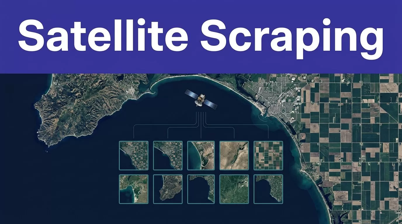
Satellite imagery collection is easy to start and easy to get wrong. If you want to scrape satellite imagery with Twin.so, the reliable approach is to automate discovery and retrieval without losing source metadata, access rules, or quality checks.
Twin.so can coordinate API requests, browser steps, file downloads, and structured outputs. It isn’t a satellite archive or raster-processing library. Your result depends on the selected imagery provider, its API, its authentication process, and the license attached to the data.
What Twin.so can do in an imagery workflow
Twin.so is an agent platform for executing multi-step tasks. Its workflow can use an API when one is available, then use browser automation when the API doesn’t expose the required action. The Quickstart documentation covers scheduled agents, triggers, integrations, and browser-based tasks.
This distinction matters. Twin.so doesn’t automatically provide access to Sentinel, Landsat, Planet, Maxar, or another imagery archive. You connect the provider yourself, subject to that provider’s terms.
Use APIs before browser automation
Use a STAC or REST API for catalog searches, metadata filters, pagination, and asset requests whenever possible. APIs are easier to test and usually consume fewer credits than browser sessions.
Browser automation fits approved portals that lack a usable API. It can help Twin.so log in, fill search forms, read tables, and download files through an embedded cloud browser. The no-API browser automation feature describes this use case.
Browser workflows also create more failure points. Layout changes, pop-ups, expired sessions, MFA, and provider-side approvals can stop a run. Treat the browser as a controlled fallback, not the default extraction method.
Let provider rules define access
You can’t freely scrape every satellite image shown on the web. Public visibility doesn’t grant permission to copy, store, or redistribute imagery.
A provider may require an account, API token, paid plan, attribution, usage limit, or separate commercial license. It may also return temporary signed URLs that expire after a short period. Respect rate limits, access controls, robots rules, and contractual restrictions. Never ask Twin.so to bypass a login wall, CAPTCHA, quota, or licensing condition.
Prepare the source and metadata schema
Start with a source that matches the work. A public archive may fit research. A commercial provider may be required for high-resolution imagery, frequent refreshes, or business redistribution.
| Source type | Typical access pattern | Suitable Twin.so task |
|---|---|---|
| Copernicus Sentinel data | STAC catalog, REST API, or provider account | Search scenes, filter metadata, request approved assets |
| USGS Landsat data | Catalog and product metadata services | Find products, collect metadata, download authorized files |
| Commercial imagery portal | Provider API or authenticated web portal | Query licensed coverage or complete approved portal actions |
The Copernicus Data Space Ecosystem offers access options for Sentinel data. The USGS Landsat Collection 2 pages document product metadata and collection details. Check the current provider documentation before building the workflow.
Define fields before you collect
Create the output schema before writing the agent instructions. A useful imagery record usually includes:
item_id, collection name, provider, and product type.- Acquisition time, processing time, and timezone.
- Geometry, bounding box, coordinate reference system, and EPSG code.
- Asset names, media types, download links, file sizes, and checksums when available.
- Cloud or quality indicators, using the provider’s actual field names.
- Query time, extraction time, API version, and workflow run ID.
- License, attribution requirements, and any restricted-use flag.
STAC provides a common structure for geospatial asset metadata. Its STAC specification explains how catalogs, collections, items, and assets fit together. The standard improves portability, but provider-specific fields still vary.
Don’t turn missing cloud data into 0. Don’t treat a missing timestamp as a valid date. Preserve the original value and route the record for review.
How to scrape satellite imagery with Twin.so
Build the smallest useful workflow first. A narrow task is easier to validate than an agent asked to search several providers, download thousands of files, and publish a map in one run.
Use this sequence:
- Define the area of interest as GeoJSON, WKT, or a provider-supported bounding box. Record the coordinate system and coordinate order.
- Set the collection, date range, maximum cloud threshold, and maximum result count. Confirm that the provider supports each filter.
- Connect the approved API or portal. Store credentials through the supported authentication method. Never place secrets in the prompt or output.
- Ask Twin.so to return structured metadata and the source record ID for every result.
- Run a small sample, validate the output, then add pagination, checkpoints, and scheduled execution.
Your task instruction should also define stop conditions. Stop when the source returns an empty page unexpectedly, required fields disappear, the schema changes, or two sources return conflicting values.
Build an API-first task
A practical task instruction can say:
Search the approved satellite catalog for items intersecting the supplied AOI during the requested date range. Use the collection selected in the input. Return only records with an item ID, acquisition time, geometry, and at least one asset. Preserve the raw provider response. Stop and report an exception if pagination fails, authentication expires, or required fields are missing.
This gives the agent a clear target without pretending that every provider uses the same endpoint or metadata property. If the provider exposes a STAC API, Twin.so can query the catalog and return item-level results. The CDSE STAC API is one example of a catalog that exposes spatial and temporal asset metadata.
For providers that expose imagery through a processing service, use the provider’s approved API to request the required bands, resolution, format, and area. The Sentinel Hub APIs page describes API access for satellite data and processed imagery.
A small Sentinel-2 workflow
A small Sentinel-2 run can follow this pattern:
- Input an approved AOI, a date interval, and the Sentinel-2 collection name shown by the selected catalog.
- Ask Twin.so to search the catalog and return item IDs, acquisition times, geometries, asset links, and available cloud fields.
- Validate five returned records before requesting any large raster files.
- Save the raw catalog response and the accepted metadata records.
- Download only the approved assets through the provider’s API or authorized file link.
- Process the raster outside Twin.so with tools such as GDAL or Rasterio, then store the derived output with the original item ID.
This separation keeps browser or agent work focused on coordination. Raster reprojection, band math, mosaicking, tiling, and cloud masking belong in a repeatable geospatial processing pipeline.
Store, process, and validate the results
A successful extraction isn’t the same as a trustworthy dataset. Store the evidence needed to reproduce each result.
Keep raw and derived data separate
Save the raw API response or downloaded metadata document in object storage. Use a stable path such as provider/collection/item_id/. Add the workflow run ID and retrieval timestamp to the record.
Store raster files separately from metadata. Keep the original provider file when the license allows it. Store processed Cloud Optimized GeoTIFFs, thumbnails, or mosaics as derived products with a link back to the source item.
A metadata table in PostgreSQL with PostGIS works well for spatial searches. Parquet works well for batch analytics. Both should retain the source item ID, acquisition time, geometry, CRS, asset location, and processing version.
Don’t overwrite the raw response when a later run changes a label or processing value. Write a new version and keep the earlier record available for audit.
Validate before publishing
Separate collection, validation, and publishing into different steps. The collection task can retrieve records. The validation task can reject incomplete batches. The publishing task can update a database, dashboard, or GIS layer only after the checks pass.
Validate:
- Required fields and data types.
- Geometry validity and expected AOI coverage.
- CRS and EPSG consistency.
- Acquisition dates within the requested interval.
- Duplicate item IDs and duplicate assets.
- Asset links, file sizes, media types, and checksums.
- Result counts against the expected range.
- Cloud and quality values against the provider’s documented scale.
A browser workflow can complete without an error and still miss records. Compare each run with a known sample. Track missing records, duplicates, changed labels, and unexpected row-count changes.
If validation fails, create an exception and keep the last trusted dataset. Never replace a valid dataset with an empty response because the provider was unavailable for one run.
Troubleshoot and control production costs
Most failures come from source behavior, not from the image itself. Test each failure mode before scheduling the workflow.
Fix common Twin.so and provider failures
An empty result may come from the wrong collection, reversed coordinates, an invalid date format, or a cloud property that the provider doesn’t expose. Remove filters for one test, inspect the raw response, then add filters back one at a time.
A 403 response on an asset link often means the URL is signed and expired. Request a fresh link through the provider’s API. Don’t store a temporary URL as if it were a permanent archive path.
If the browser stops at login, MFA, or an approval page, use the provider’s supported authentication flow. A human approval step may be required. If a page layout changed, update the task against the new visible labels instead of adding endless retries.
For partial results, save progress by item ID, page, cursor, or file name. Use bounded retries with backoff for temporary network errors. Don’t retry permission failures or schema changes indefinitely.
Measure accepted output, not browser actions
Twin.so credit usage depends on the task. Use rough planning ranges, not fixed quotes. A simple API, filter, and notification workflow may use about 15 to 30 credits. A 100-item scrape may use around 20 to 70 credits. A browser session with roughly 20 steps may use 100 to 200 credits.
Actual usage depends on browsing, retries, searches, document volume, output size, and provider behavior. Benchmark a small approved batch before forecasting monthly usage.
Track:
- Credits used per run.
- Accepted, missing, and duplicate records.
- Failed runs and retry counts.
- Human review minutes and correction time.
- Cost per accepted record.
A workflow that saves ten minutes but creates thirty minutes of correction work isn’t saving time. If the process spans a provider portal, object storage, GIS processing, and a review queue, Book A Call to map permissions and exception paths before a wider rollout.
Conclusion
Twin.so can help you scrape satellite imagery metadata and coordinate approved downloads, but it doesn’t remove provider requirements. Use APIs first. Reserve browser automation for authorized portal actions that lack a suitable API.
Define the schema before collection. Preserve raw evidence. Validate geometry, timestamps, assets, counts, and licenses before publishing anything.
The reliable workflow is small, traceable, and provider-aware. Start with one source and one AOI, prove that the accepted records are correct, then scale the process.
